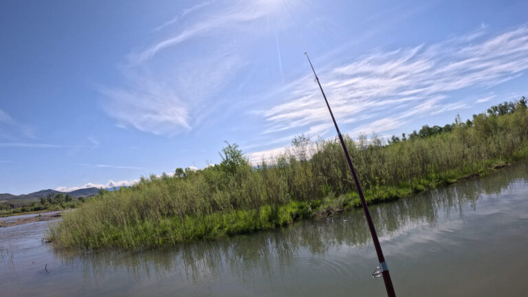
Officially my second time at Gallatin Forks but the first time was only for about an hour at one spot. This time I thoroughly explored the area spending most of the day there. I got there around 10 and headed straight to the area I fished last time. It wasn’t easy though much of the trail was flooded and my feet were soaked by the time I made it to a spot. This time I started at a spot which was a nice calm tributary off the main river.
After fishing there for a bit I headed over to the spot I fished my first time at Gallatin Forks. I didn’t stay there too long till I headed to the third spot just alittle further down. It was a nice spot except there was a log jam that I lost my line on. I spent about an hour breaking up the log jam and got it to float down the river. So I got rid of a big trap and turned a bad spot into a good spot haha.
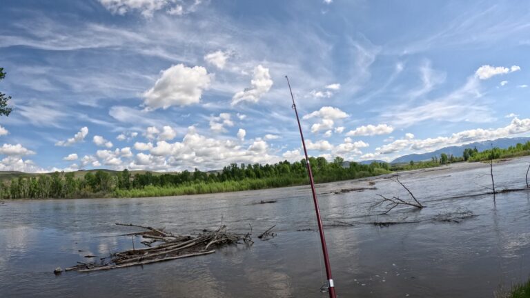
There was still alot more of the access to explore so I continued down river. As I moved farther it became increasingly difficult as most everywhere was flooded. I managed to slowly pick my way through the thick brush and around the flooded trails coming to the end of the access (at least as far as I could go). This was where a pretty large tributary intersected with the even larger main river. It was a nice wide open calm area so I fished there for a half hour or so. I then picked my way through the thick brush and flooded trails back the way I came. It actually was alot quicker then it took me going in. I got back to my car and decided to check out the north side of the access which is on the east Gallatin river. The access actually starts where the Gallatin and east Gallatin split with the majority of the access land between the two rivers.
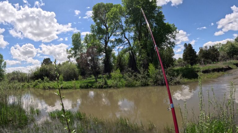
So I started at the south side of the Gallatin river then drove back to the beginning of the access on Nixon Gulch road where the east Gallatin splits. There is a parking area on the south side of the river right next to the bridge where the access starts. The parking lot was full so I parked on the north side of the east Gallatin just on the side of the road. I had to walk off the road into the brush and kind of make a shortcut through a river lodge. So this part wasn’t meant to be accessible but it technically was part of the access on the map. I probably went another couple hundred yards with no dacernable trail and through some thick brush before i came to an open area on the river. I gave it a few casts but it was just the main river going at full force so it wasn’t much of a spot. I then headed out as this area wasn’t meant to be accessible. As I mentioned above the majority of the access land is between the East Gallatin and Gallatin. So you either have to cross the Gallatin from the south where i started or cross at the bridge where the river splits but you have to cross the river to get to most of the access. So thats kind of a bummer haha but i think it would be worth doing as its a big area to explore. Anyway the area I explored had plenty of good spots and especially when the river is lower and trails aren’t flooded. Thats it for Gallatin Forks check out the highlight video at reeltmtfish on instagram and tiktok and full length video at tmtfish on youtube. Thanks for reading
Travis